please comment on: Navigation &
bad links; Page appearance; Content.


This
is a working draft -
please comment on: Navigation &
bad links;
Page appearance; Content.
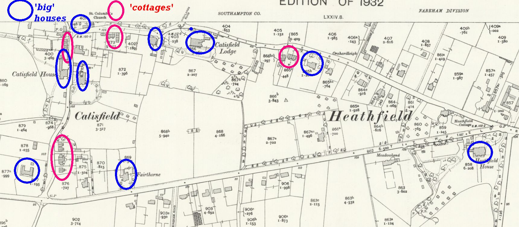
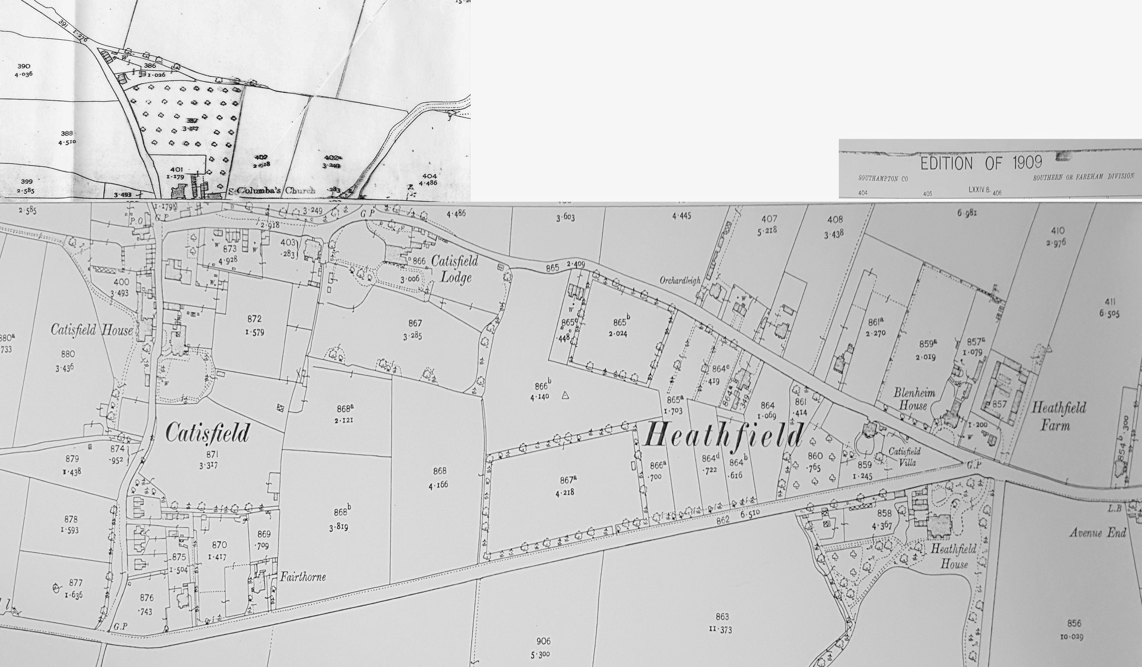
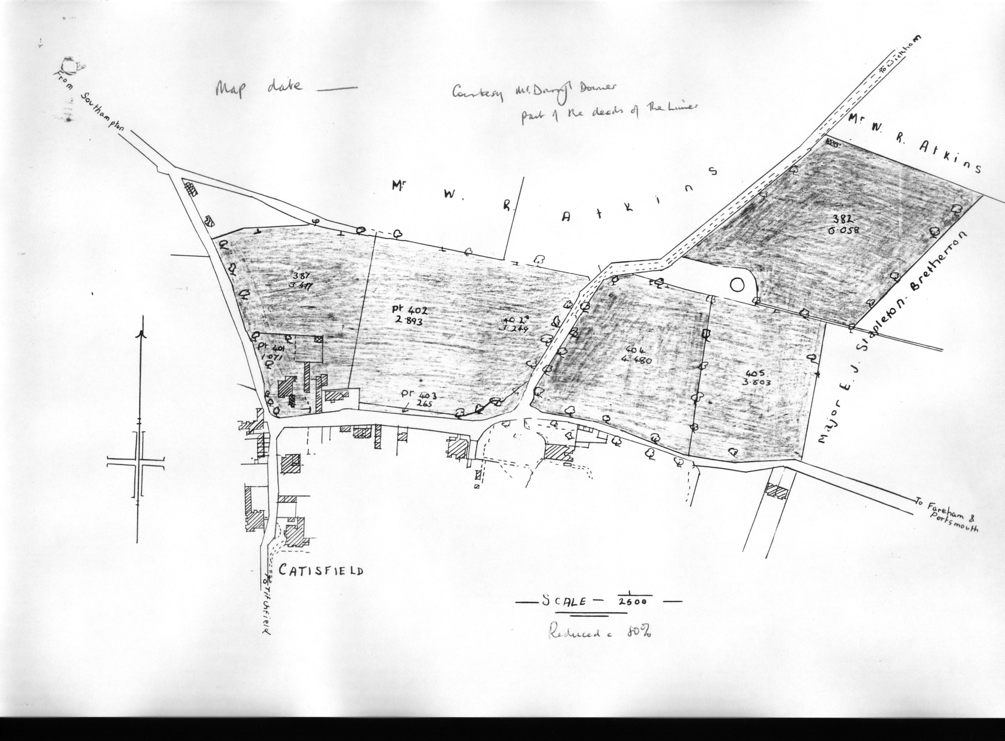
Map of 1932 showing the 'Big' houses and the 'Small' terraces/cottages for the workers |
.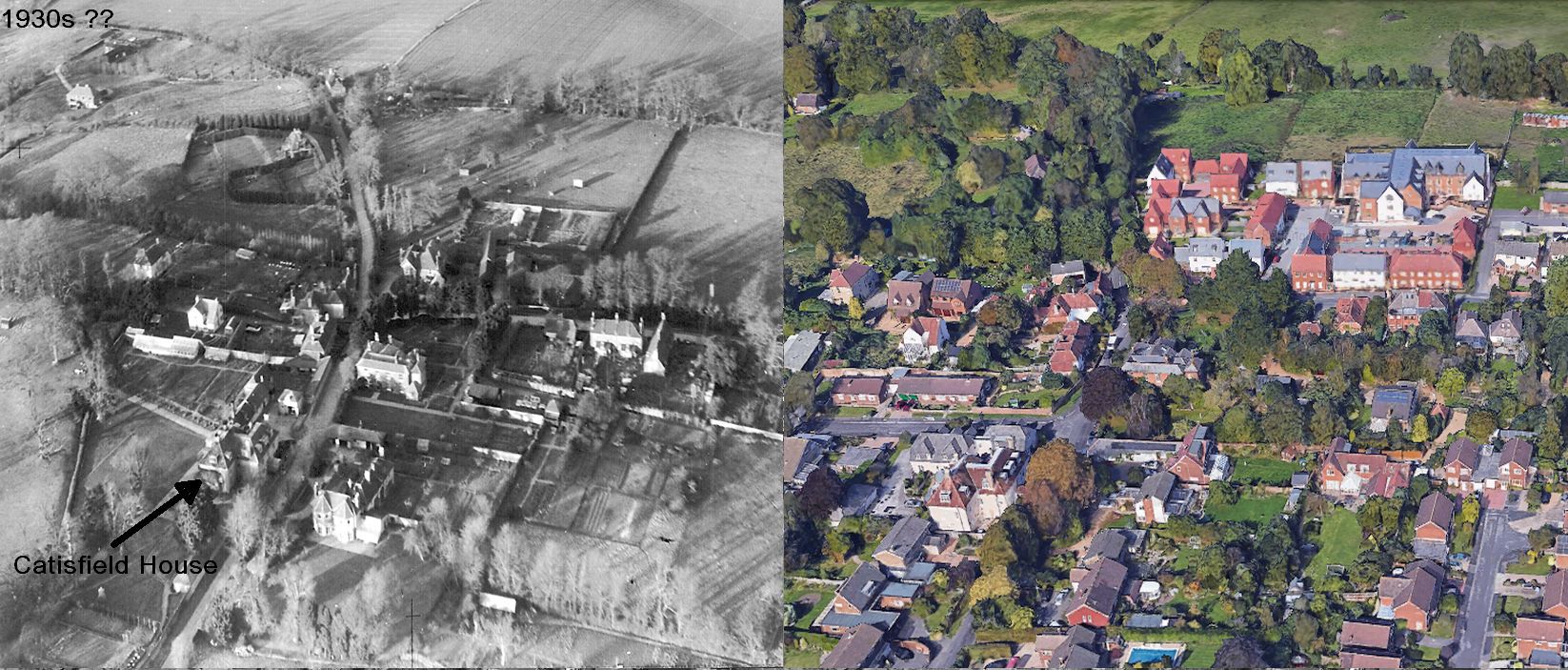
The centre of Catisfield, from an old aerial c. 1930, compared to today. Many more houses -- and much more greenery! . |
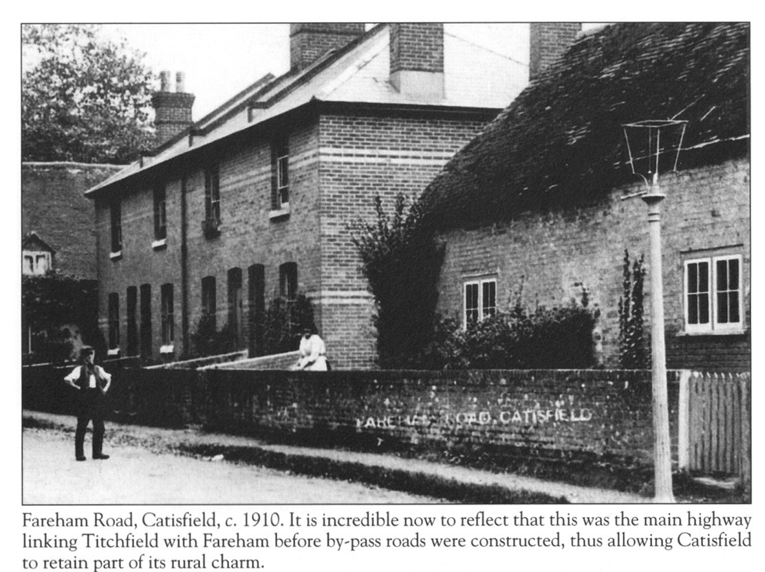
"The Cottage" (now known as 'Monks Cottage') and "The Terrace" still stand, on what is now named Catisfield Lane. . |
You
can explore this History of Catisfield in a number of ways:..
|
|
|
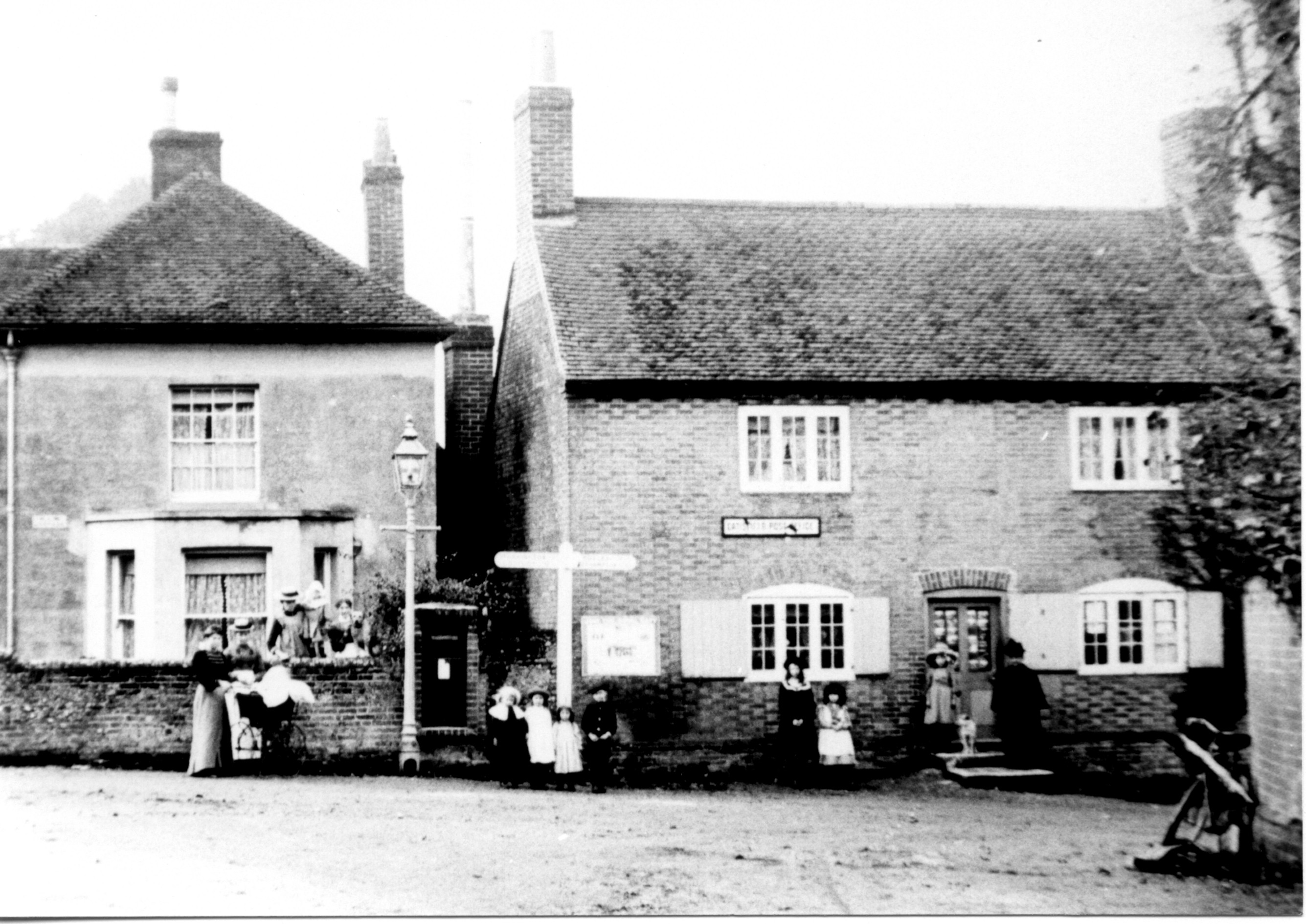
The Post Office 1909, |
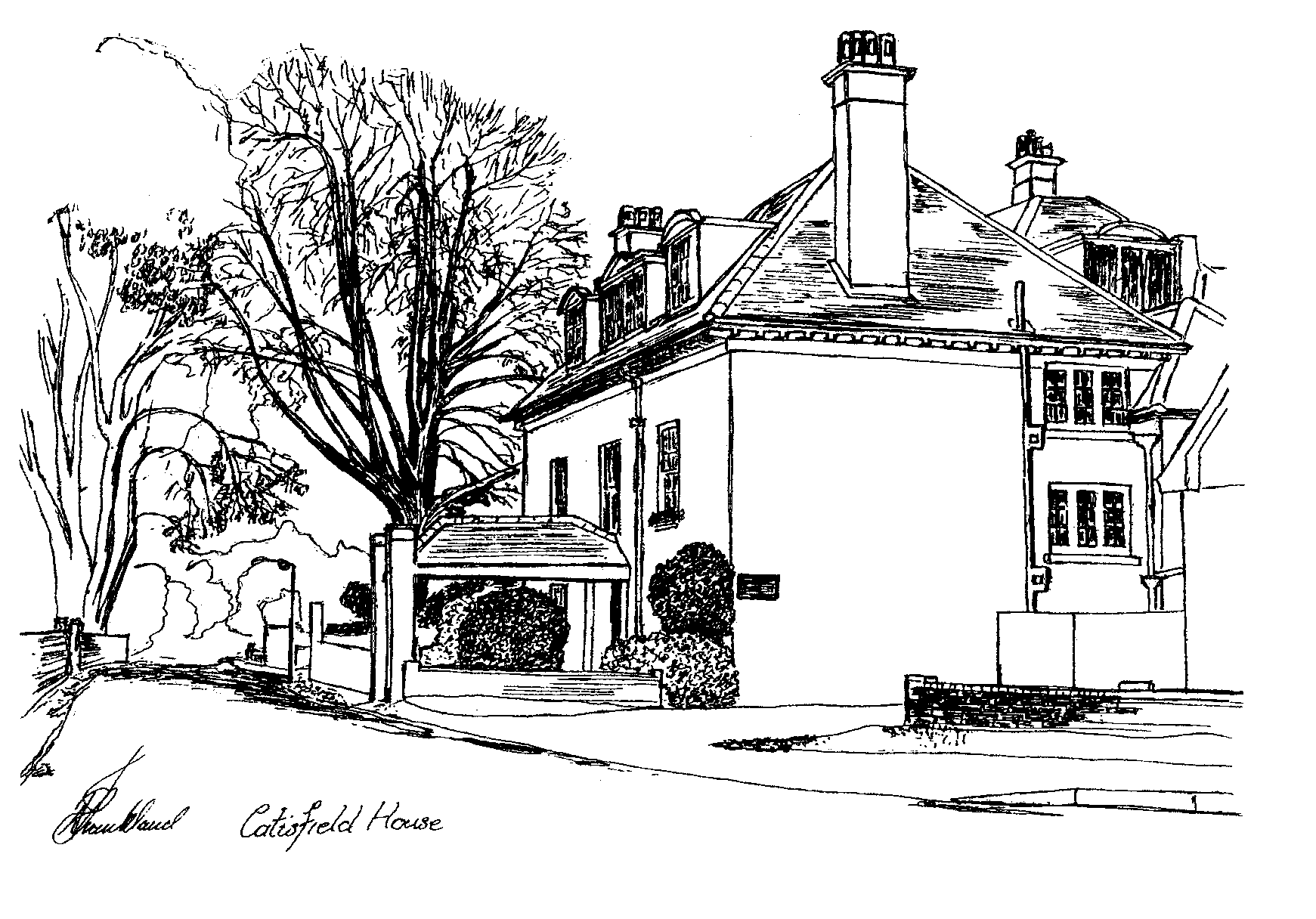
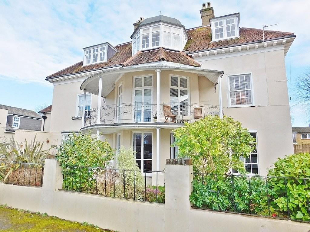
, Catisfield House, |
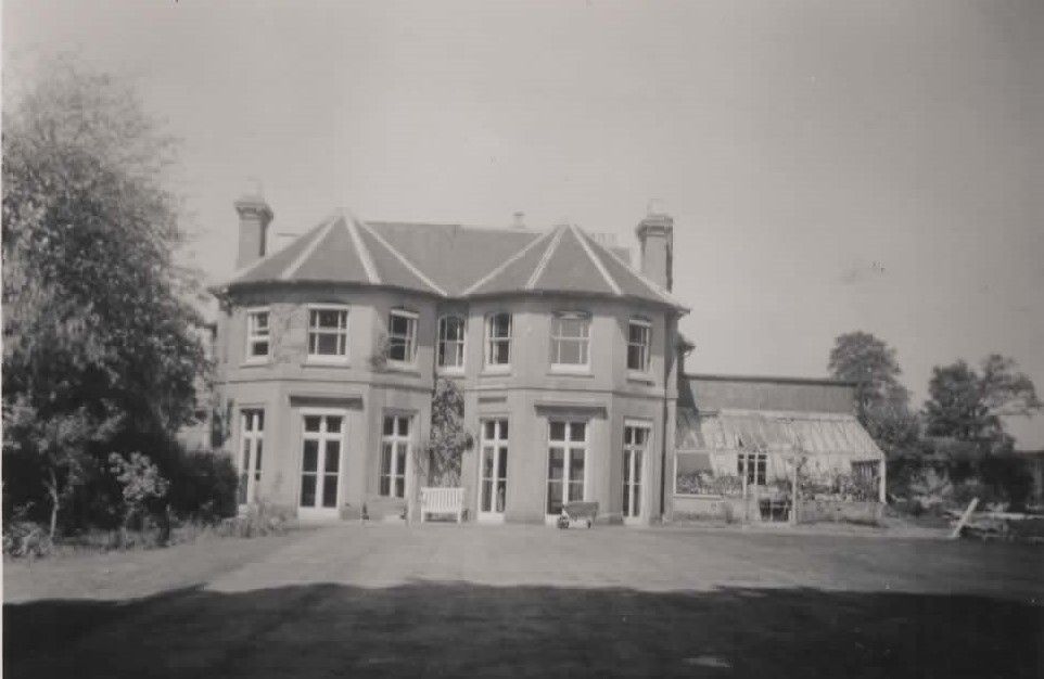
Catisfield House - rear, |
 Elmshurst (which was opposite Catisfield House) |
Comments, queries and messages to:
This is a working draft - please comment on: Navigation & bad links; Page appearance; Content. .........
Pages on Catisfield originally 'on the web' January 1996 |
See also:
MAIN - go to the main Catisfield website page .. |
AUTHORSHIP Note: This site has been compiled by Doug Glading. It incorporates material from other writers, researchers and sources - such as Maureen Sygrove, Dr Hugh Carling, 'Fareham Past & Present'. Hopefully the correct thanks and attributations have been given to each. The majority of the photographs are also by Doug. The intention is that this 'publication' becomes a framework for anyone's material about Catisfield. It will hopefully continue to change, as new material is added (and the layout/navigation improved). | Note
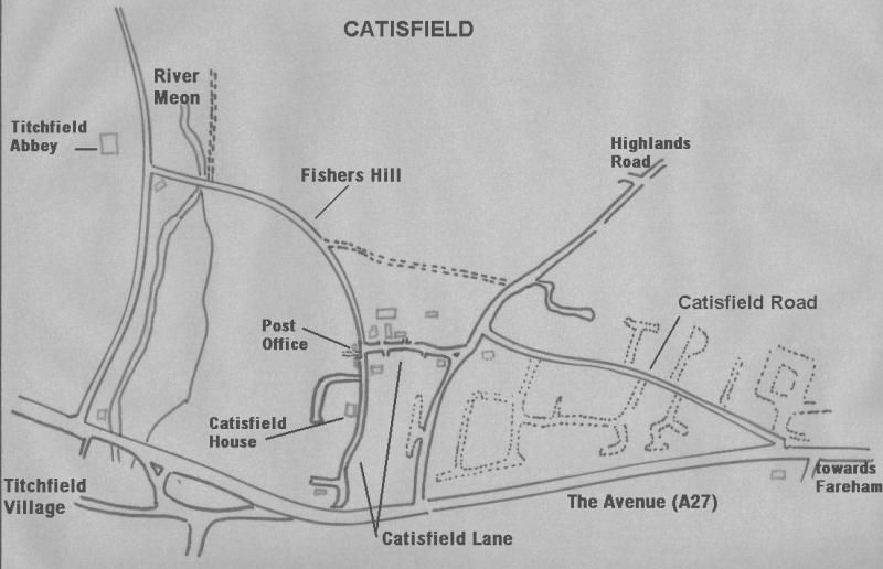
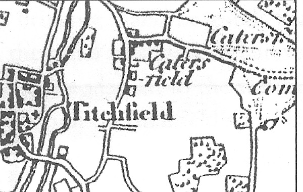
on Location:
The road through Catisfield was once a main route between Fareham
/ Portsmouth and the west. Samuel Pepys probably rode through it
on his travels as did Margaret of Anjou on her way from wedding Henry
VI at Titchfield Abbey at the bottom of Fishers Hill. Once an independent hamlet, it has become adjoined to the town of Fareham. It is part of two Conservation Areas, one of which protects part of the pleasant Catisfield Lane and the other covering the land going down to the Meon River and the historic Titchfield Abbey. The Meon is a very attractive little river which flows into the sea (the Solent in fact) less than 3 miles away. See: Catisfield - More about where it is |