| BACK to CATISFIELD Maps index page.. |
Catisfield - In Maps: 1864 |
Forward to NEXT Map. |
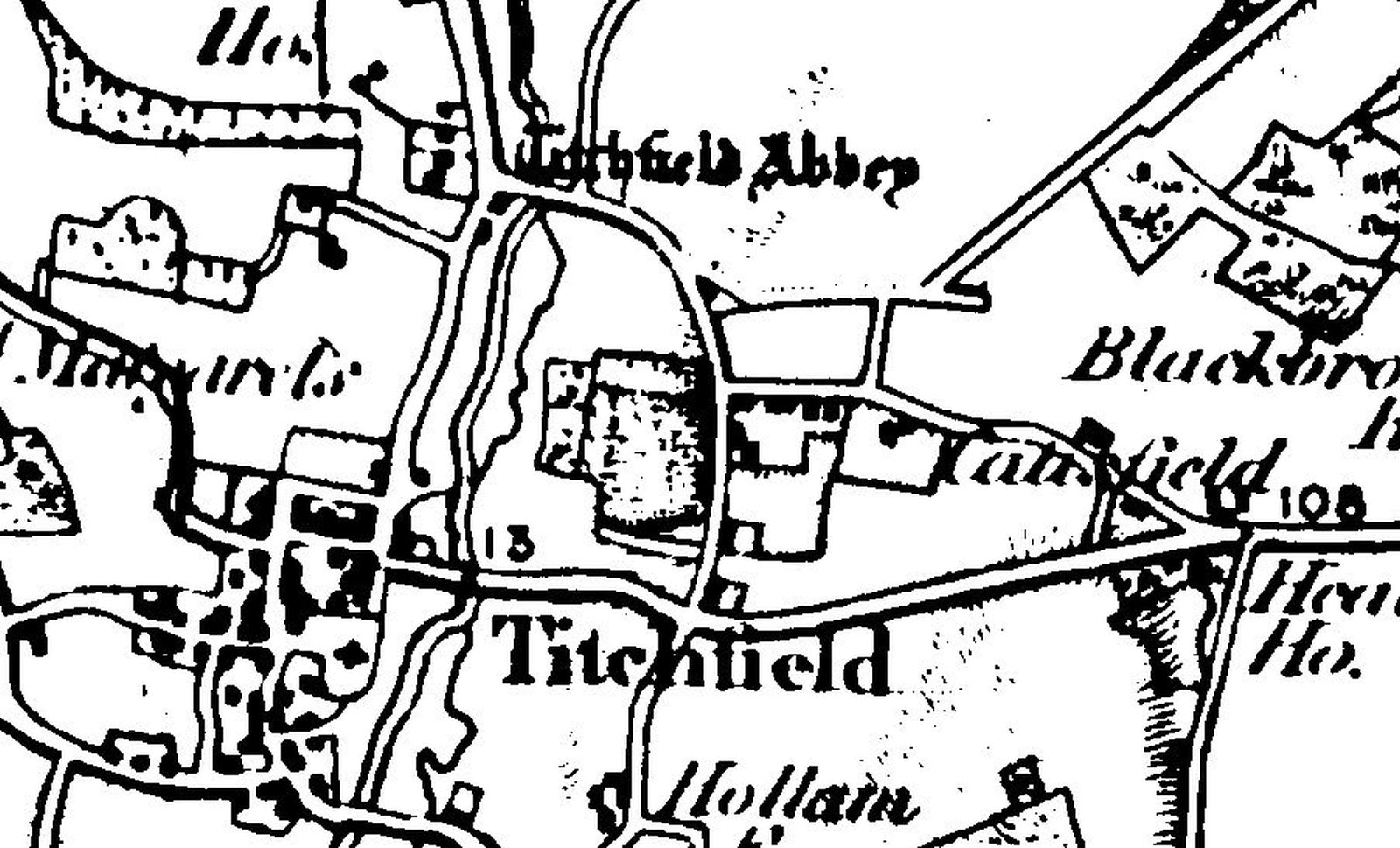
From First Edition OS Map.
This extracted section shows the name as quot;CATISFIELD".
Heathfield Farm appears to be there (opposite the Peak Lane junction).
more text and explanation to go here.....
| BACK to CATISFIELD Maps main page.. go back to Top of this page |
Catisfield pages originally 'on the web' January 1996 Most recent revision: 23/2/2107 © Doug Glading ..... 1996-2017 |