go back to Top of this page
Catisfield pages originally 'on the web' January 1996
Most recent revision: 22/2/2017 © Doug Glading ..... 1996-2017
| BACK to CATISFIELD Maps index page.. |
Catisfield - In Maps: 1832 |
Forward to NEXT Map. |
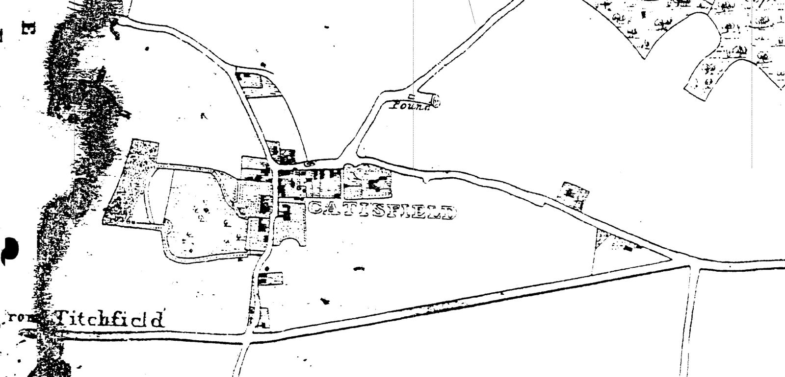
This is possibly the first reasonably accurate map ??
This extracted section below shows the name as "CATISFIELD".
The road from Fareham runs straight to Titchfield - the Turnpike has of course been
built (now is the A27).
The extensive grounds of Catisfield House are pretty clear. ( see detailed map of Catisfield
House grounds later in this set).
Other houses that show up in the centre of Catisfield include Elmshurst. Catisfield Lodge, The Limes, the cottages etc opposite the Limes, ......
And Heath(field) Cottage, and presumably Orchardleigh, at the east end of Catisfield Road. But no Heathfield House.
more text and explanation to go here.....
| BACK to CATISFIELD Maps main page.. go back to Top of this page |
Catisfield pages originally 'on the web' January 1996 Most recent revision: 22/2/2017 © Doug Glading ..... 1996-2017 |