go back to Top of this page
Catisfield pages originally 'on the web' January 1996
Most recent revision: 19/2/2017 © Doug Glading ..... 1996-2017
| BACK to CATISFIELD Maps index page.. |
Catisfield - In Maps: 1791 |
Forward to NEXT Map. |
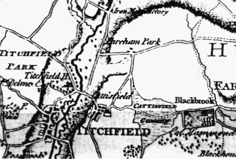
more text and explanation to go here.....
| BACK to CATISFIELD Maps main page.. go back to Top of this page |
Catisfield pages originally 'on the web' January 1996 Most recent revision: 19/2/2017 © Doug Glading ..... 1996-2017 |